
4 Day Tour of the Steiermark
Set off for a few days on a non-existent mountain bike tour in the hottest days of 2020.
I bought this map and detailed book a couple of years ago. Turns out the route never took off because of opposition from landowners, farmers and the forestry commission. There are now no markings and no GPX files available.

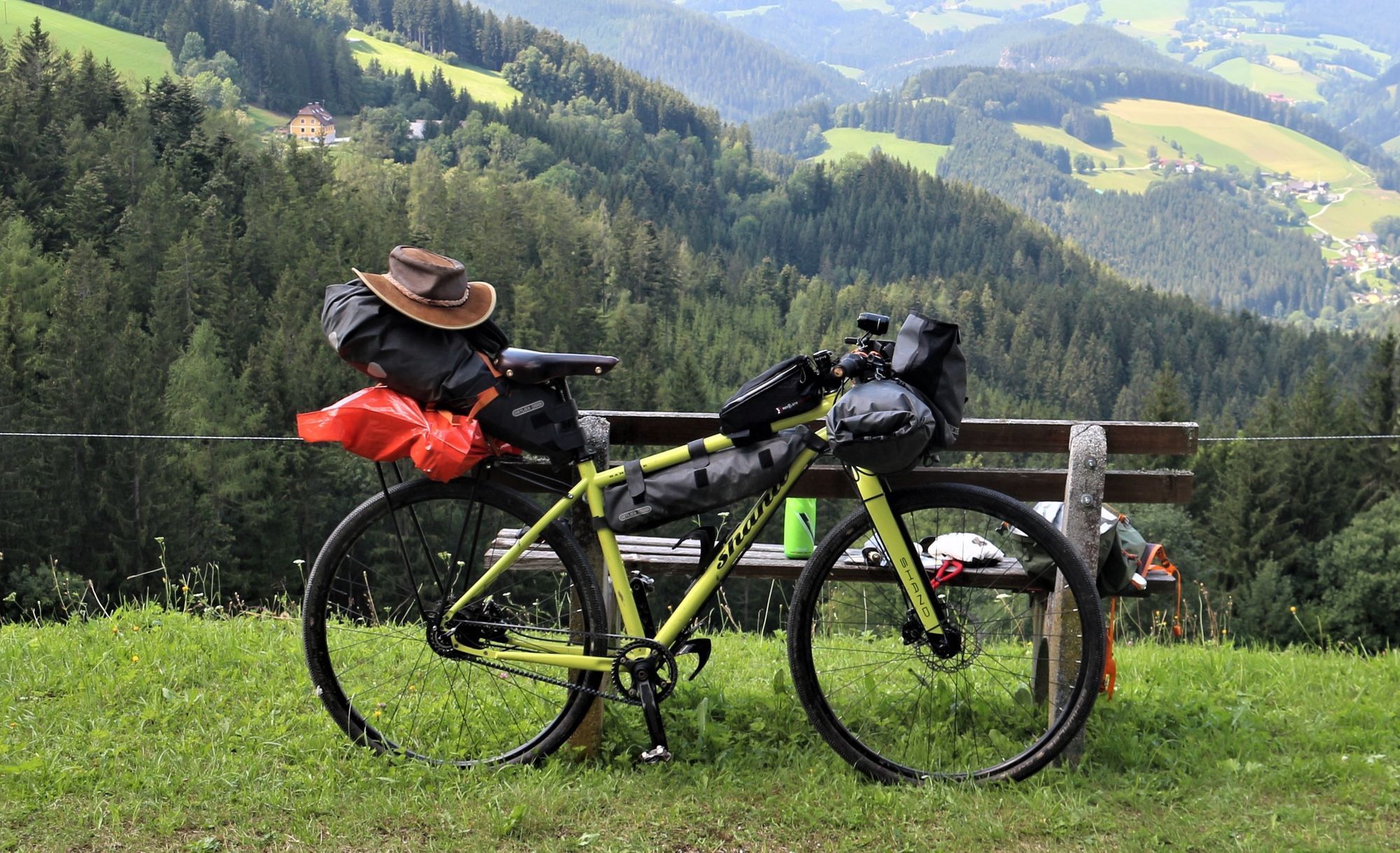
However I decided to make use of the reasonably detailed maps in the book and do a small part of the trail, so packed the bike and set off to Mürzzuschlag by train. I took about 10 days worth of pages out of the otherwise heavy book, not knowing how far or for how many days I would ride.
The Austrian rail network is fantastic. There were hourly trains to my destination, all carrying some bikes (usually only about 5 though). Purchased my discount card (Vorteilskarte), booked ticket and bike online and cycled off to the station. An hour and a half later I was cycling on a quiet bike path next the Mürz river away from traffic.


Unfortunately I had to leave the shade of the river bank and head uphill passed the Stuhleck ski lifts where I have been plenty times in winter. Near the top the path was not obvious and after a bit of faffing around I ended pushing up a steep grassy, rocky slope in the 31°C heat. Ran out of water so was happy to find the gravel road at the top and head down the other side.

Somewhere along the way I lost the water bottle under the tube. Forgot that I had to use a velcro strip previously to keep it there!
A few hot hours later after seemingly endless km and hours on a windy, undulating road the tar ran out right at the bottom of the Hauereck ski lift. Lo and behold, there was a hotel there and they had draught beer and a bed! The chore of finding a place to pitch the tent and finding water to wash in was shelved.

Total 39km, 1295m and absolutely knackered.
Day 2 (52km, 1394m, max temp 37°C)


The only problem about staying in a hotel is that breakfast only starts at 8am! It had been light already for 2 hours and the sun was quite high and hot when I set of up the track to Hauereck at 1300m.

Had a very pleasant ride through a peaceful forest. There were one or two moutainbikers and some folks picking blueberries. The village of Alpl was totally deserted with 2 reasonably large deserted hotels. Not sure why anyone would stay there anyway. Lots more ups and downs on forestry tracks and small roads took me down to the Feistritz river. Up the other side and on to Miesenbach then began thinking of looking for a camping spot.

Lo and behold - at the top of the next pass (Wolfgrube) there was a beautiful old chalet with a perfect flat, recently mowed field in front, and nobody at home. The perfect camping spot. Except that there was no water.
This is where my Sigma GPS device comes in handy because it shows water sources quite clearly. My source was a tiny spring in the middle of the forest, but I was able to fill enough for a rough wash and for dinner (the standard Uncle Ben's boil-in-the-bag rice and a tin of sardines) and for my porridge and tea in the morning.

Day 3 (69km, 2094m, max temp 36°C)


Styria is big and very hilly. Nothing is flat. There is always a river way down in a gorge which you have to get down to just to head back up the other side. Navigation was also a problem sometimes, given that the trail I was following is not marked. The map on my phone was indispensable for confirming location, but there's always a constant worry about running out of battery power (need to get the USB charger on my bike fixed).


This was a long day, hilly and hot. Keeping hydrated was an issue. After the final climb up through Heilbrunn (didn't find any source of holy water!), I stopped for a beer and decided that was enough.
Found yet another unoccupied chalet with a perfectly flat lawn, super secluded view with a small spring nearby.


Day 4 (69km, 1350m, only 26°C)


I wanted this to be the last day as I was finding it all a bit knackering and wanted my own bed and to cook a meal in my own kitchen. It was good knowing that no matter what time I arrived in Graz, there would be a train back to Vienna (still don't know how I did 21 days of this last year).
But there was this big hill (Shöckl 1440m) in my way with a section marked "extreme" in my guide.

Extreme means pushing the bike an arms length while trying not to slip, then pulling on the brakes and stepping up to the bike for a rest, for about half an hour.
Was very pleasantly surprised to see the hut at the top earlier than expected, though the soup I was dreaming of wasn't going to happen due to the queue of people at the door waiting to get disinfected. The weather had closed in anyway with some thunder, so I was desperate to get down lower.

Downhill was very hard though with very chunky rocks and quite steep. My hands were very sore from the braking and constant pounding. Would have liked wider tyres.
The run down to Graz was fast and steep on narrow tarred roads. Since I was relatively early I did the extra loop up the Dürrgraben suggested in the book. Probably shouldn't have. Getting to the station was very straight forward on cycle paths, and of course, the OEBB came up with the goods and I had the bike on the train half an hour later, with time to get some tinnies from the nearest Spar for the 2 1/2 hour train ride home.
Conclusion
All in all I think I enjoyed it though it was challenging in the heat. The scenery in the section after Graz towards Schladming must be super as the mountains get bigger, but will also be tough to ride: might try some of it another year.
It has taken me two days to rehydrate, pee again and loosen up!
For next time: remember to download maps to phone, get the USB charge sorted, fit wider tyres, tie on second water bottle.